Me 163B airfields: Wittmundhafen
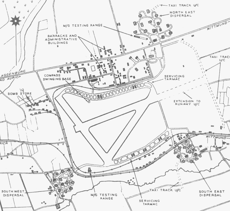
A wartime RAF/USAF map of Wittmundhafen, home of the 1. Staffel of JG400 from March to July 1944. The date of the map is unknown.
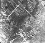
Bernhard Weiss of the Fliegerhorste site kindly supplied the following RAF aerial photo of Wittmundhafen, courtesy of Jagdgeschwader 71 "R" in Wittmundhafen. It was made on 23 March 1945, and shows the south-east dispersal area. The photo on the right is oriented like the map shown above.
|

|
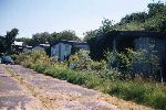
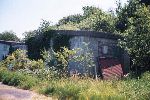
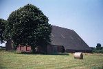
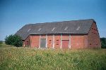
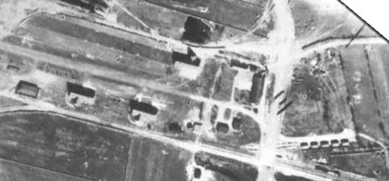
According to Bernhard's information, the buildings shown in the detail view shown below were Komet-related. Note that they were copied from the rotated photo. In the center and left of the center three identical large buildings can be seen; it is said these were Me 163 hangars. These buildings still exist. Slightly right of, and below the center one can see a small courtyard with two houses, which also still exist. In the lower right corner 5 small bunkers are visible; it is said that they where used to store Me 163 fuel. These too still exist, and two of them are used as private homes.
Bernhard Weiss of the Fliegerhorste site also kindly supplied the following photos, showing the current state of the buildings seen in the aerial photo above. The camouflaging of the hangars is almost perfect if you ask me.
Return to Me 163B airfields page
